Monday, July 16, 2012

Billings, MT by default

Monday, July 16th

Started the day at the Lewis & Clark Interpretive Center.  Very well done and with 2 movies and 1 talk and views of the Missouri River out the window.  The center focused on their experience in what is now Great Falls, MT due to the 5 falls they had to portage around.  

Showing the grade the men
had to get their heavy boats
up to portage around the falls
I never cease to be amazed at this Corp of Discovery and what they endured and what courage they had.  They were for the most part only in their early 30s - maybe that's why they had so much gumption. 

I had intended going to the C.M. Russell museum but the speaker at the Interpretive Center started out by asking how many were planning on going there today and I raised my hand and he said "sorry, they're closed on Monday:)"  He showed some slides of his work that he did of the Lewis & Clark expedition so that'll have to do for now I guess.

So left town by route:

Which follows the railroad tracks instead of a river.  As I drove along, following the tracks, I noticed several of the old kind of grain elevators that they use to use to load grain right into the railway cars - in the good ole days (way before my time!! but I've heard tell. . .).

And once again in the wide open, flat landscape with no trees, lots of telephone poles and they're very noticeable because everything else is so flat.  The only time you see trees is when there's a house and there aren't too many of those either.  Wonder if the house came first and the owners planted the trees for a wind-break or if the trees came first because there was water there and so that's where the house was built figuring they'd be more likely to get water when a well was dug (because, believe me, there's no city water in most of MT I'm guessing).

Someone had a sense of humor at a rest stop:
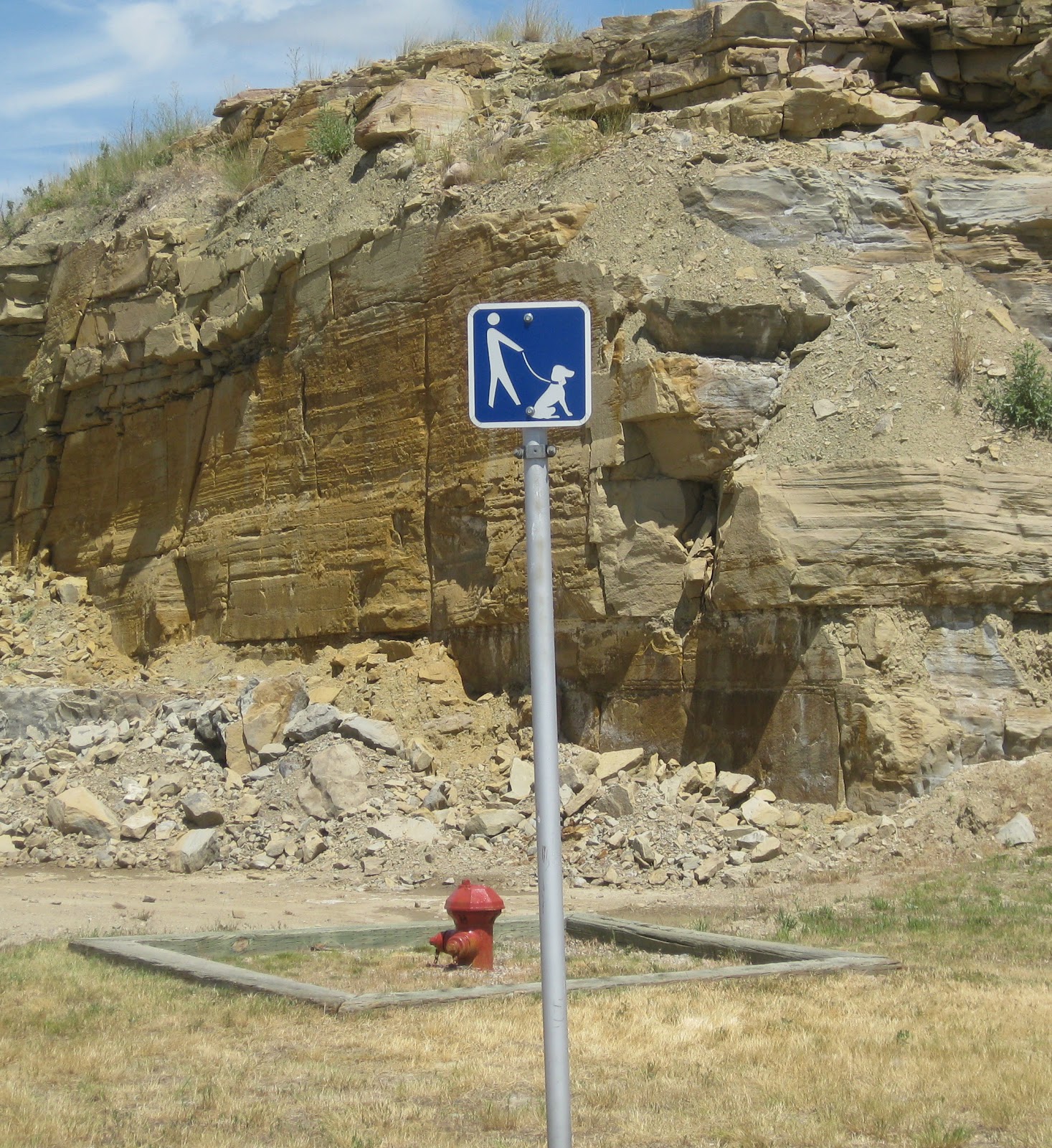
Wonder if they thought it was like running the water when you're trying to get a toddler to learn to use the potty.

Saw several signs for Access to National Forest - really - I can't see any trees all the way to the horizon.  Does the National Forest control land that isn't a forest?

Pictures will show the vastness of MT but it's not boring since the landscape changes from flat and barren to golden wheat fields to green wheat fields to rolling cattle-grazing acres and acres, to rocky out-croppings, to scattered ranches and miles and miles of blue skies, white clouds and the highway straight ahead of you for as far as you can see and the speed limit of 70 mph.  I love seeing the small round bales of hay just left where they fell in the field like sentinels guarding their crops.
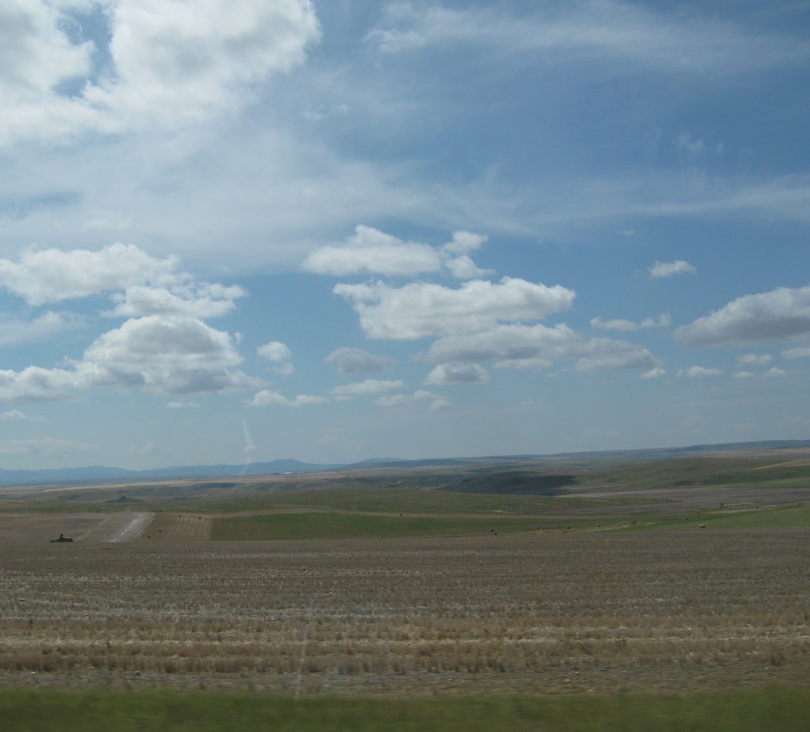

It was quite warm all day but started pouring rain, thunder and lightening about 1/2 hr. after I pulled into my campground in Billings, MT.  
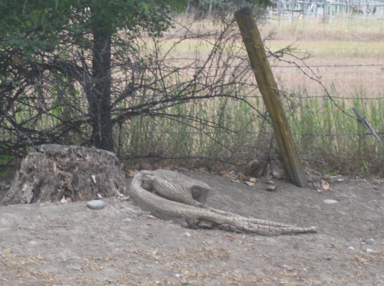
What does this look like to you?
An alligator to greet me at the
campground?


This is what my back view is - can't
see but the Yellowstone River
is just below those bluffs
As I mentioned yesterday, very few campgrounds in the catalog and I realized about 3 o'clock that if I didn't want to spend the night under the stars, I needed to alter my route and head straight south to Billings.  I fear I wouldn't have found a campground until tomorrow noon had I continued my country-side tour.  So, I don't know about MT?  And everyone says it takes a week to cross TX.  I think you could say almost the same about MT.


So, for the end of the story - I made my grilled veggie & couscous dinner tonight and here's the results (I know you were dying to see)
Grilled - even can see grill marks
(can you tell I'm impressed)

In the pan ready for grilling
in the microwave


On the plate with the couscous
Just look at all those yummy veggies


Dessert - raspberries and a slice of
Panettone from Jeff & Katie


DATA:


mileage:  244                                gas: $64  @ $3.33                      Interpretive Center:  $0 (senior!)
campground:  $48

Two counties that I wonder about:  Petroleum County & I didn't see a single oil rig
                                                         Mussel Shell County and I haven't seen any water since I left the 
                                                                      Missouri River back in Great Falls.  


I Don't Know About MT

Post for Sunday, July 15th

Two nights in Great Falls, MT.
Two nights with storms.
Two nights without power.
Two nights without refrigeration. . .  because now my propane won't work:(  What next!!

So, the first night (Sat) the storm hit about midnight but I didn't know the power had gone out until 1:30 when I awoke to click, click, click - the refrigerator looking for gas but I wasn't going to go out at that time and turn the propane on so shut refrigerator off.   Power came back on about 4:30.

Yesterday (Sunday) I decided to stay put, clean inside Rhoda, pay bills, look at maps, get reorganized again.  At about 3 sky got dark, wind came up and I scurried to get rugs, computer, paperwork, chair, snacks, etc.  put back inside just in time for huge drops and then pounding rain, thunder to start.  And the power went out and again.   In a couple of hours, click, click, click.  This time I went out (rain had stopped) and turned propane on but nothing happened when I tried to light stove and therefore gas wasn't flowing.  So stuff got warm in refrigerator as power didn't come back on until about 2:30 a.m.

So, now I'm without running water, no propane and generator only runs for 1/2 hr.  BUT, I can use the toilet and I'm guaranteed a bed.  I'm good when I can plug in but heading out to the hinterland today so I don't know what I'll find.  For a state as large as MT, the campground section in the Woodalls book is very small.

This KOA campground has a small garden that I was told anyone can pick from so before the rain yesterday I went in search of it and this is what I found:

Baby onions, radishes, baby zucchini and about 1 C raspberries
 I was going to fix a fancy dinner in my new microwave grilling dish (which really does grill) of grilled veggies (adding carrots and baby bok choy which I already had) on couscous BUT no power so I had a tuna fish sandwich.
New Micro Hearth Grilling Pan

Oh well, maybe tonight.  One can always hope.

Off to Lewis & Clark interpretive center and C.M. Russell (cowboy artist) museum and maybe a buffalo jump place if I can find it then heading east to Lewistown where there's suppose to be a community of Hutterites (?) and lots of fresh produce and crafts.  One can always hope.

DATA:

None

Saturday, July 14, 2012

Eastern Glacier in the Rain

Saturday, July 14th

I awoke to pitter patters on the roof so knew my day's plans were about to change.

No hike before I headed to the east side of Glacier NP.

Did eat breakfast at the campground:  waffle with real raspberry sauce.

Rain wasn't hard but low clouds so you couldn't see the tops of the mountains or else you could see the tops but not the mid section but it was ok, it made you focus on the immediate.

Stopped at Goat Lick Overlook and sure enough there were mountain goats on the other side of the gorge (seen through binoculars) licking the rock wall (there's salt in them thar hills).  Fun little break in the cool mist.

Stopped at Marias Pass (discovered for the railroad, on Patrick's birthday a few years earlier - in 1889) in the Lewis and Clark National Forest which is on the continental divide.
The obelisk at Marias Pass is to T. Roosevelt for
his dedication to preserving the
National Forests & sits on the
Continental Divide

Then on to East Glacier.  I went inside the Glacier Park Lodge (built by the railroad to aid in the westward expansion) which had a marvelous lobby and front garden.
Inside the Glacier Park Lodge


Garden in front of Glacier Park Lodge

Two Medicine Lake


I went on to a very pretty Two Medicine Lake.  The rain stopped just about this time so I could walk the lake shore a bit and took these pictures.  The water is so clear and smooth - thus the great reflection.
Look how clear the water is
at Two Medicine Lake

Reflection at Two Medicine Lake


Had planned to stop at the Blackfeet Pow Wow outside the park but by the time I got back on the road, it was again raining pretty hard so drove on with Great Falls, MT as my destination.  

Almost as soon as you leave Glacier, the land flattens out and you're in prairie.  It's like those colliding plates that formed the Rockies got tired of pushing against each other and just stopped.
"After" Glacier in MT

Lots of grain, checker board fields, rolling hills, bumps and humps.  Pretty country side with few trees so you can see to the horizon.

(Town of Cut Bank - on Rt. 2 east of the park - neat murals and enlarged old photos on the sides of their buildings)

Staying in a KOA in Great Falls with 1000 kids, splash pools, family parties with all the cousins, bunnies and raspberries everywhere.  Rain had stopped by the time I got here and was actually quite warm.

DATA:


Gas:  $53  @ $3.40                   camp (for 2 nights)  $106

Friday, July 13, 2012

Goodness, Gracious, Gorgeous Glacier NP

Thursday & Friday, July 12th & 13th
GLACIER NATIONAL PARK
(also known as the Glacier/Waterton, Canada International Peace Park)

It's mostly going to be about the pictures which I'll include in a small format but you know you can enlarge them by double clicking on them.

A few notes about my 2 days there so far:
  • I didn't drive the only road into the park - Going To The Sun - for a couple of reasons:  I'm a chicken and afraid of heights and I knew I wouldn't see anything but the road if I did
  • I took the free shuttle the first day to get an overview and then I did it again on the Red Bus 
    Vintage Red Bus
    (new brakes though)
    even though I knew what I was in for - oh mama mia - the road just hugs those cliffs and you look straight down but I wasn't going to miss it even though my fingers cramped up a few times
  • in winter, snow at the top of the mountains can get up to 40 FEET deep, at the bottom several HUNDRED inches deep.  It took until the end of June to clear this road and as you can see in the pictures, there's still lots of snow even though the temperatures beginning this week have been in the upper 80s and low 90s but dry.
  •  I camped in the park the first night which is sort of like Fish Creek with pesky flies.  Ran out of propane so refrigerator didn't cool and generator stopped after 1/2 hr of a 2 hr. window to run it so no AC on a wind-less, sunny, rather warm late afternoon
  • it doesn't get dark until well after 10 p.m.
  • There are no snakes in Glacier
  • There are:  mt. lions, grizzly & black bears, big horn sheep, mountain goats, wolves, wolverines, coyotes and squirrels


Haystack Falls


Stromatolites (?) Rock
Only rock to give off oxygen
Bird Woman Falls

Down in the Valley

Sue in Glacier National Park
Weeping wall
McDonald River Falls


At the continental divide - 6646'
Only 3 other places in the world
where water flows 3 ways -
east, west, north


McDonald River Falls
Still a lot of snow


St. Mary Lake on East Side of Glacier
with Wild Goose Island
Glacier made

McDonald Lake on West Side of Glacier
10 miles long, 1 1/2 miles wide
400' deep
Glacier made

DATA:


Mileage    22                        Propane:  $11                         Camp:  1st night    $10
                                                                                                       2nd night     $40
Red Bus:  $50

P.S.  Glacier/Waterton International Peace Park is working towards becoming designated as an International Dark Sky Park/Preserve.  By 2025 they believe there will be no more dark skies to see the stars in the contiguous US due to light pollution.  Pretty cool.  Who would have thought to preserve the night!


Wednesday, July 11, 2012

Through Idaho and Ready for Glacier

Wednesday, July 11th

Before I left Coeur d'Alene this morning, I checked out the cute little town and the beautiful large resort right on the lovely lake.  It is a nice, seemingly quiet little resort town.

I headed north, at 81 degrees, on Rt. 95 to catch up with Rt. 2 which will take me east into Glacier National Park.  95 is not a very scenic nor interesting route but easy driving.  With not much to look at, I noticed:
  • Idaho is the Lewis & Clark state
  • a huge amusement park (Silverwood) is in the middle of nowhere - well 10 miles north of town - with a huge roller coaster, huge parking lot, many other attractions and a nice "in-the-pines" RV campground
  • purple was the color of the day for roadside flowers
  • the skinny upper part of Idaho is called the panhandle just like the skinning top part of FL
  • I haven't found the eastern version of this yet:
Rhoda loves being in the mountains!

Met up with Rt. 2 in Bonner's Ferry and shortly thereafter saw a sign for the time zone change.  So I've lost an hour but what is funny is that Rt. 2 is this little 2 lane, no shoulder, in bad condition road and there's a sign for the time zone but on the large interstates with many, many more cars, no sign.  About 2 hrs. later I also realized that I think this sign must have also announced that I was entering Montana because I remembered seeing on the map that the 2 coincided.  But I'm so use to seeing a big sign "Welcome to Montana" that I didn't notice if there was even an announcement of the event on this little road.   Along this road too - which had a speed limit of 70!!  there were MANY little white crosses on stands, sometimes 2-3 on one stand, 1 time there were 8 little crosses.  I'm sure these signified people who had died on this 2 lane little country road with a speed limit of 70.  Sad.

I had been following the swollen, fast moving, sea-glass green Kootenai River for quite awhile.  About 25 miles out of Bonner's Ferry there was a large pull off on the opposite side of the road for historical information so I joined the many other cars who'd also pulled off.  Much to my surprise it was my unexpected pleasure of the day - not the snack bar tucked into the woods, not the peaceful , surrounded-by-pines picnic grove down the path a ways but the sound of powerful waterfalls and signs telling of the path to them so off I went.  Interesting path - started out paved, became pine-needled, then sloping, then a narrow walking bridge over train tracks, then 65 metal open steps down a fire-tower like structure so that you could see all the way to the bottom (Buzz, you would have been so proud of me), 
Hard to see but believe me - a long way down
then a decision 
Hummmm - which way?
then rocks sticking out of the dirt path on more decent and THEN the falls - after you clambered up on to a rocky ledge.  Oh my gosh!!  They weren't high but very broad and so much water rushing down.
I couldn't get the full width of them
 and you can only see a little bit of the falls on the right

This is downstream just a bit

Just listen to the sound - it's only 2 seconds.


The mountain peaks still have snow on them so I'm sure it's still melt-down time plus I guess they had a lot of rain the last couple of weeks.  There were no guard rails (so if you come, Holly - put Tanis on a leash!) and you just knew that there would be no hope for life if you slipped and went over.  But they were magnificent to behold - just mesmerizing!

But I had to continue so clamored back down the rocky ledge, hiked over the rock-protruding inclined trail, up the 65 metal, see thru steps, over the train tracks, up the steeper inclined path onto the pine-needled path, past the in-the-pines picnic area, onto the paved path and right past the snack bar.  What a wonderful treat the falls were - I didn't need ice cream on a stick.

Down the road I passed an Upper, Middle, and Lower Thompson lake which reminded me of the Chateaugay Lakes and my neighbors already enjoying themselves there and of Mike & Evelyn leaving today to keep my camp warm for me until I get there.

Today I reflected on all the Native Americans who originally inhabited this area:  the Flatheads, Blackfeet, Kootenai, etc.  How they set up their tepees, hunted, fished, farmed, fought and lived in these many beautiful valleys between the large peaks.

I was trying to hunt with my eyes but there's been so much logging over the years and with the left-behind remaining stumps in between the scattered pine trees, my eyes kept deceiving me thinking I was seeing a bear but it was only an old stump but it kept me busy anyway.

I'm staying in a motel/RV/cabin complex in a one Hungry Horse town where it's main attraction is a cafe advertising huckleberry pie and milkshakes - maybe for breakfast?  I'm only about 15 miles outside the western entrance to Glacier National Park!

I may not be posting for a couple of days while in the park so hang in there!

DATA:


mileage:  247                    campground  $30           gas:  $44  @ $3.54
                                                                                         $ 69 @ $3.56 (and extra 10 cents/gal for full-
                                                                                               serve to help a young kid out)

Names I liked today:  Branch Ranch, Shilo, Stampede Lake, Mountain Meadow Lane, Pot Hole Rd,
                                  Wolverine Rd., Bear Creek, Bob Cat Acres (guess they like their wild life) and
                                  Watch for Ice - didn't know if they meant on the road or an ice berg or a glacier - 
                                           both of which I understand I might see in the park)